3D - Topography and Climate
Click on map to see larger image
Rationale:
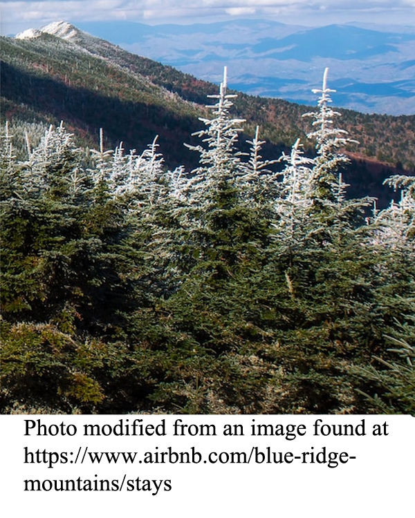
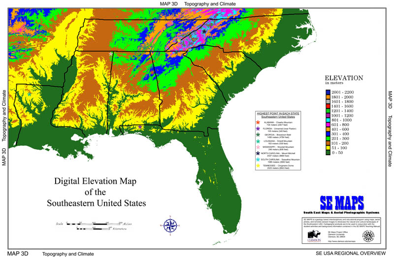
Elevation above sea level is one of the key factors determining land use and land cover in any geographic region. Climate indicators such as temperature and precipitation are heavily influenced by elevation differences, and these conditions in turn affect the type of vegetation likely to predominate in a given area. Higher elevations receive greater annual snowfall and have shorter growing seasons. Land slope characteristics and regional relief are two additional topographic features that play major roles in land use decisions, especially regarding agriculture. Large plantations generally occupy low-lying flatlands, while smaller family farms are the rule in higher, hillier terrain. Elevations are almost always referenced to sea level and can be determined by standard ground surveying techniques as well as by satellite based global positioning systems (GPS). Mountains and other high points are easily recognized by travelers and are often used as landmarks for land and air navigation. Such dominant features are often named in honor of famous local or national personalities.
Themes
|
Content Outline
|
Activity TitlesAll activities include
|

|


